About us
At odaswa – Geospatial & Research Services, we provide professional geospatial, remote sensing, and technical research solutions backed by more than 18 years of industry and academic experience. Our expertise supports researchers, institutions, government organizations, and businesses in transforming complex data into accurate, actionable insights.
We are committed to delivering reliable, high-quality, and customized solutions tailored to the unique requirements of each project. From spatial analysis and thematic mapping to scientific documentation and publication support, our approach combines technical precision, analytical depth, and timely execution.
Vision Statement
To become a trusted leader in geospatial and research solutions by delivering innovative, accurate, and impactful services that support sustainable development, scientific advancement, and informed decision-making worldwide.
Mission Statement
Our mission is to provide reliable GIS, remote sensing, and technical research services through quality-driven methodologies, advanced analytical approaches, and client-focused solutions. We are committed to supporting researchers, institutions, and organizations with accurate spatial intelligence, professional documentation, and timely project execution.
Business Recognition
odaswa – Geospatial & Research Services is a Government of India Udyam Registered MSM enterprise, committed to maintaining professional standards, service reliability, and quality-focused project delivery.
Why Choose odaswa?
✔ 18+ Years of Professional Experience
✔ Expertise in GIS, Remote Sensing, and Research Support
✔ Customized Solutions for Academic and Industry Projects
✔ Accurate, Reliable, and Timely Project Delivery
✔ Strong Focus on Quality, Precision, and Client Requirements
✔ Remote Service Delivery with Professional Communication Standards
Founder & Principal Investigator
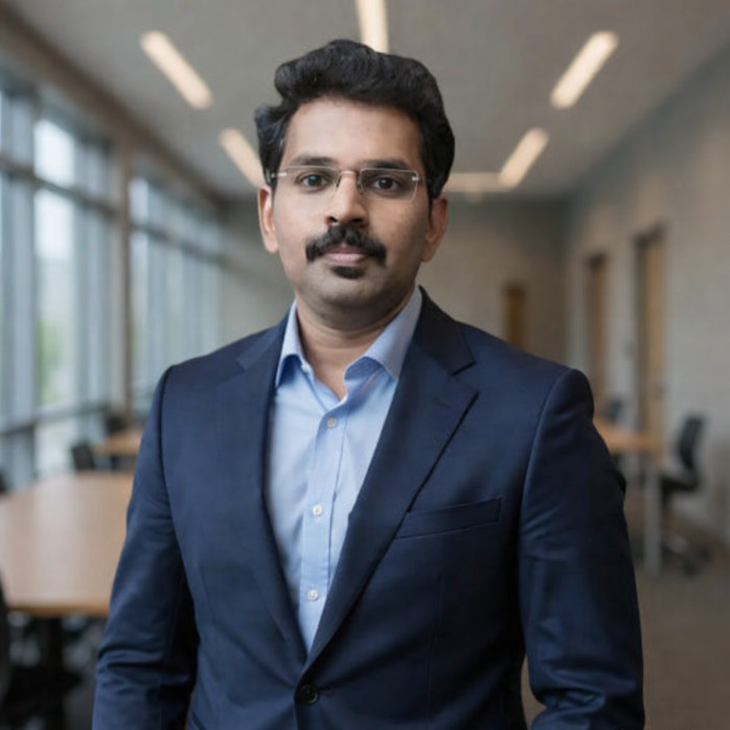
With over 18 years of professional experience in Remote Sensing, GIS, and technical research, Dr. Ganeshkumar Baskar is the founder and driving force behind odaswa – Geospatial & Research Services. His expertise covers geospatial analytics, climate and environmental studies, disaster management, urban and regional planning, and advanced academic research support.
Dr. Ganeshkumar holds a Ph.D. in Remote Sensing from Anna University and has extensive experience in teaching, research, and project guidance. He has served as an academician, mentored numerous undergraduate and postgraduate research projects, and authored more than 15 international research publications indexed in Scopus and Web of Science.
His strong foundation in spatial technologies, scientific analysis, and research methodology enables odaswa to deliver accurate, reliable, and industry-oriented solutions for researchers, academic institutions, government organizations, and private sectors.
From GIS training and thematic mapping to spatial data analysis and technical documentation, Dr. Ganeshkumar leads every project with a focus on quality, innovation, precision, and professional excellence.