Advanced Geospatial Solutions for Smarter Decisions
Comprehensive GIS, remote sensing, and research services for accurate analysis and project success.
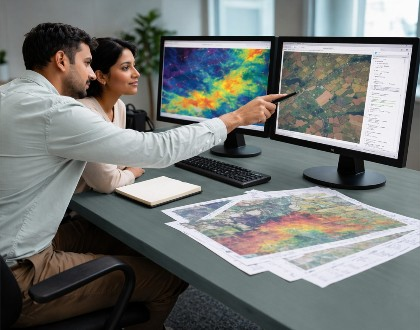
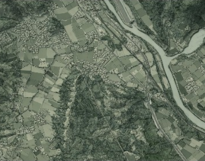
Remote Sensing Data Analysis
Analysis of satellite imagery and geospatial data to extract meaningful insights.
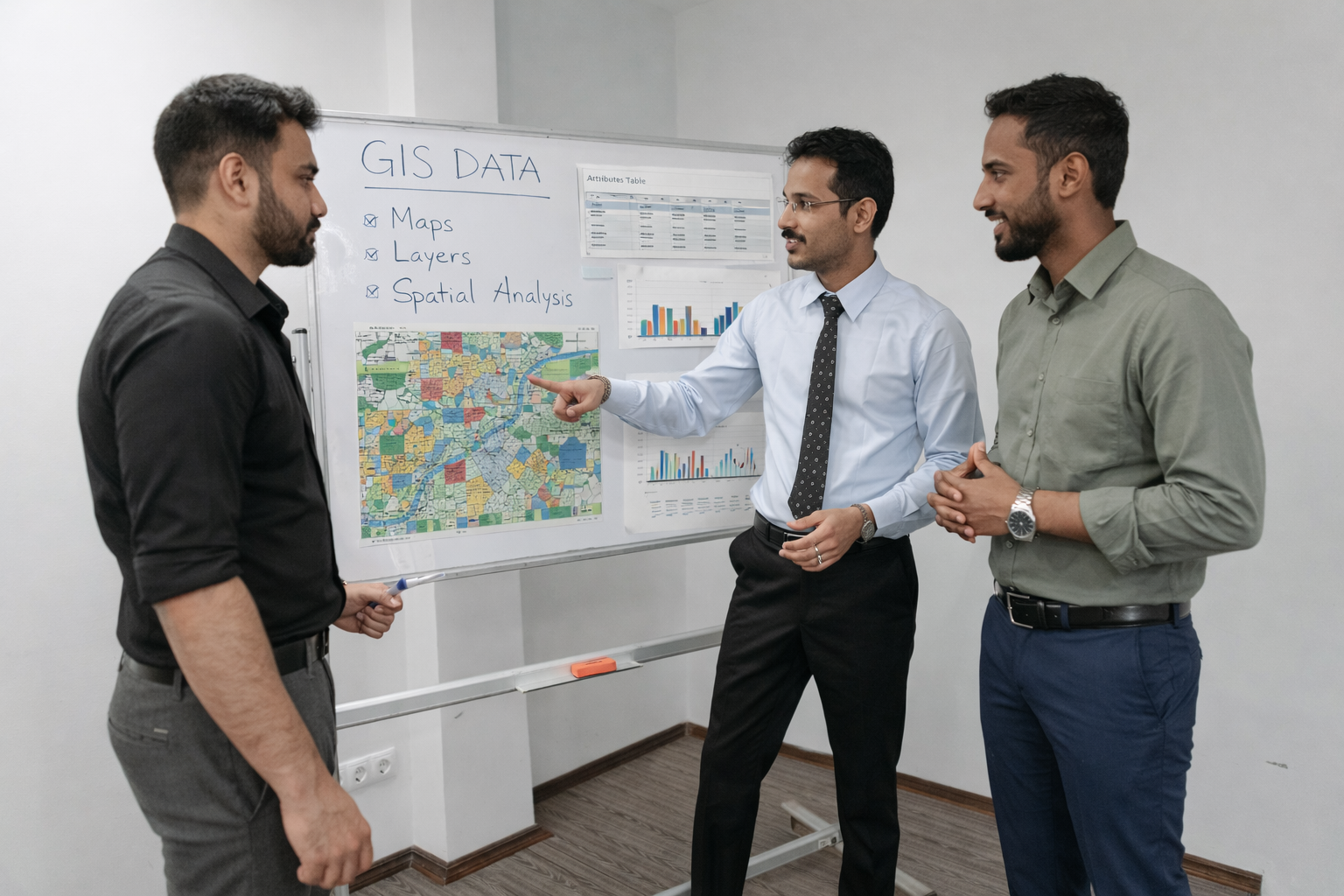
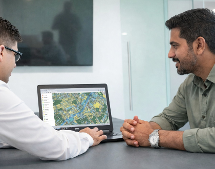
GIS Mapping & Analysis
Creation of accurate maps and thematic layers for your analysis.

Technical Research & Writing
High-quality research support and publication-ready documentation.
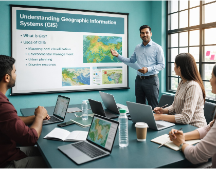
Training & Consultancy
Customized training programs and expert consultancy in GIS and remote sensing.
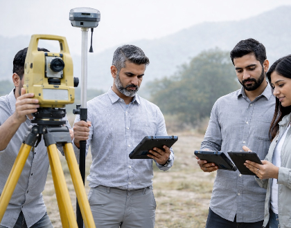
Field Survey Data Processing
Integration of field survey data with GIS to ensure accurate real-world analysis.

Academic Project Support
End-to-end support for academic and industry projects, from data collection to final reporting.